Gort to Tuam Motorway overview
Comprises 53km of motorway
The M17/M18 Gort to Tuam PPP Scheme forms part of the Atlantic corridor outlined under Transport 21 (Transport 21 is an Irish infrastructure plan). The scheme involved the design and construction of a new road to replace the existing N17 and N18 between Gort and Tuam in County Galway in the West of Ireland.
The 53.2km motorway standard road commences at Gort and terminates at the Kilmore Roundabout, just south of Tuam. From Tuam the road is a 4.2km Type 2 dual carriageway which bypasses the town and joins the existing N17 at Mountpotter.
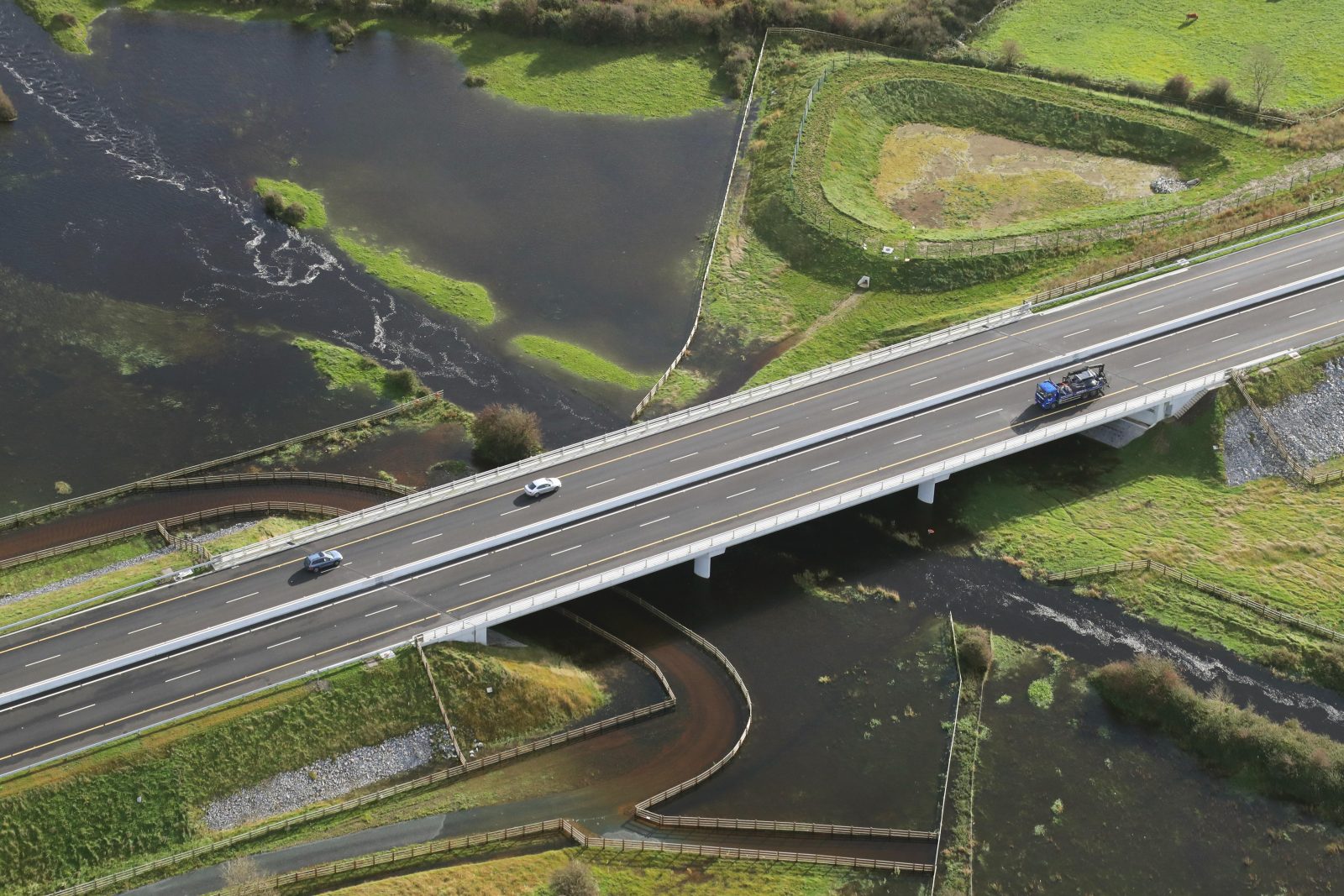
Aerial view of the Clare River
It was our aim from the start to deliver this project safely and on time and that was achieved within budget
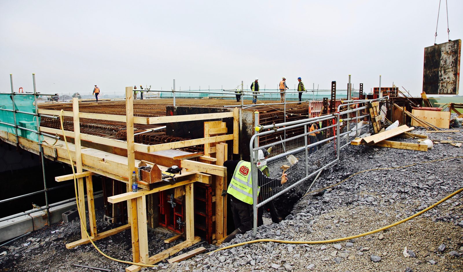
Temporary works put in place by the Sisk team
Sound engineering and scientific practices
This scheme implemented the most recent versions of the National Roads Authority (NRA) Design Manual for Roads and Bridges (DMRB). The DMRB embodies the collective experience of the Overseeing Organisations, their agents and design organisations over many years. Environmental protection and sustainability of materials particular to this site are detailed below.
Soft ground comprising peat, white calcareous marl and blue lacustrine clay was present along the Northern section.
By careful examination of the test data and analysis of published material on the calcareous marl, it was judged that band drain, staged construction and surcharge techniques could be accommodated within the construction programme.
"We now have efficient access to international airports at Shannon and Knock, thanks to the completion of the M17 and the M18. This helps our international competitiveness when exporting goods overseas."
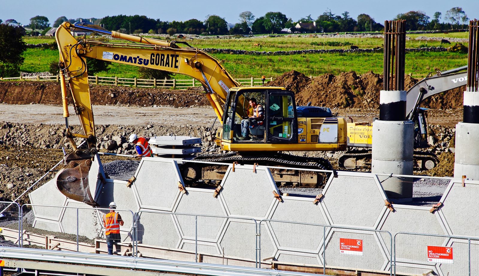
Precast wall panels being installed
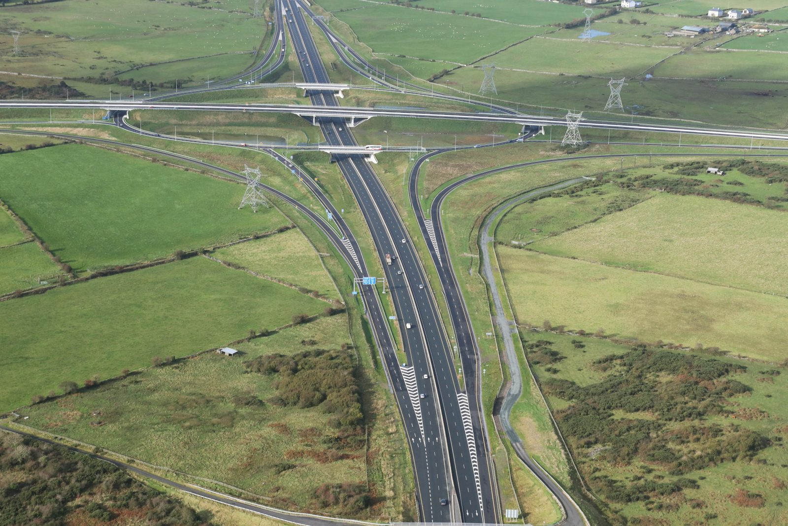
Rathmorrissy Junction
A key challenge of the project was the extraction of over 800,000m3 of rock on the scheme
Rural development
The overarching objective of the Atlantic Economic Corridor was to maximise the region’s assets and connect economic hubs, clusters and catchments of the region to generate a value proposition of scale which would attract investment and support job creation, improving the quality of life for those who live in the region. Improved rural connectivity is a pillar of the Government’s Action Plan for Rural Development and this is exactly what the M17/M18 delivers.
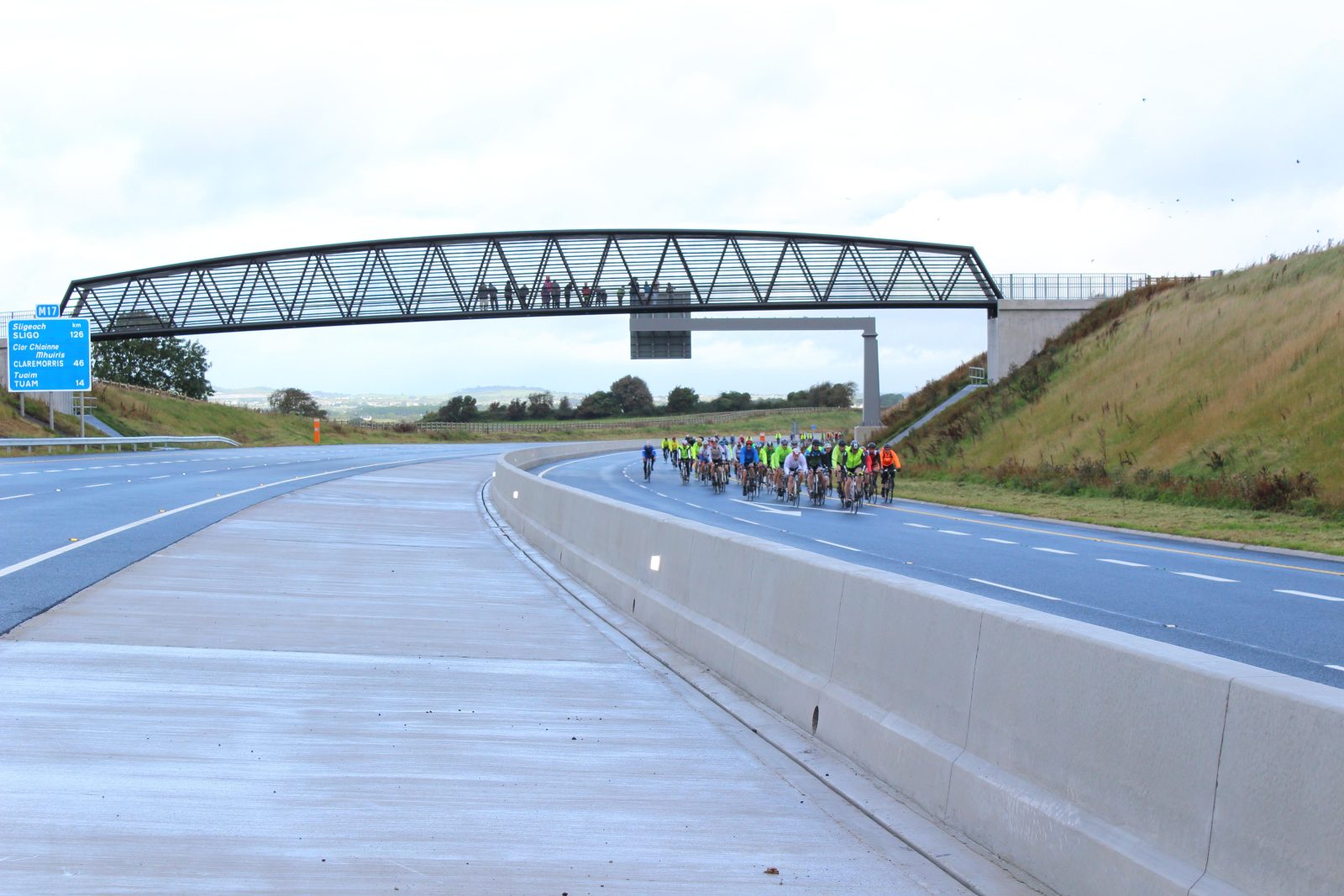
Charity cycle took place on the M17/M18 prior to the official opening
Conservation
The Nanny River is a Special Area of Conservation (SAC). The Environmental Design Report included the following restrictions to design & construction: No instream works to take place between June and September. The existing riverbank was retained to allow for the passage of mammals beneath the bridge.
Our team ensured that the existing flow regime and channel dimensions were maintained for each watercourse to mitigate any possible effect on fish and river ecology. The design ensured, even in the most difficult ground conditions, that the river was maintained undisturbed.
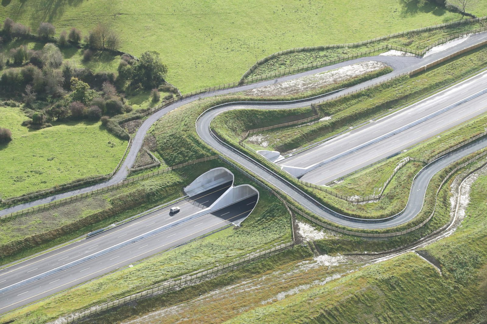
Mammal underpass
Ireland’s first 'green bridge'
Ireland’s first ‘green bridge’ was constructed over Galway’s M18 motorway in a bid to conserve an internationally important colony of Lesser Horseshoe Bats.
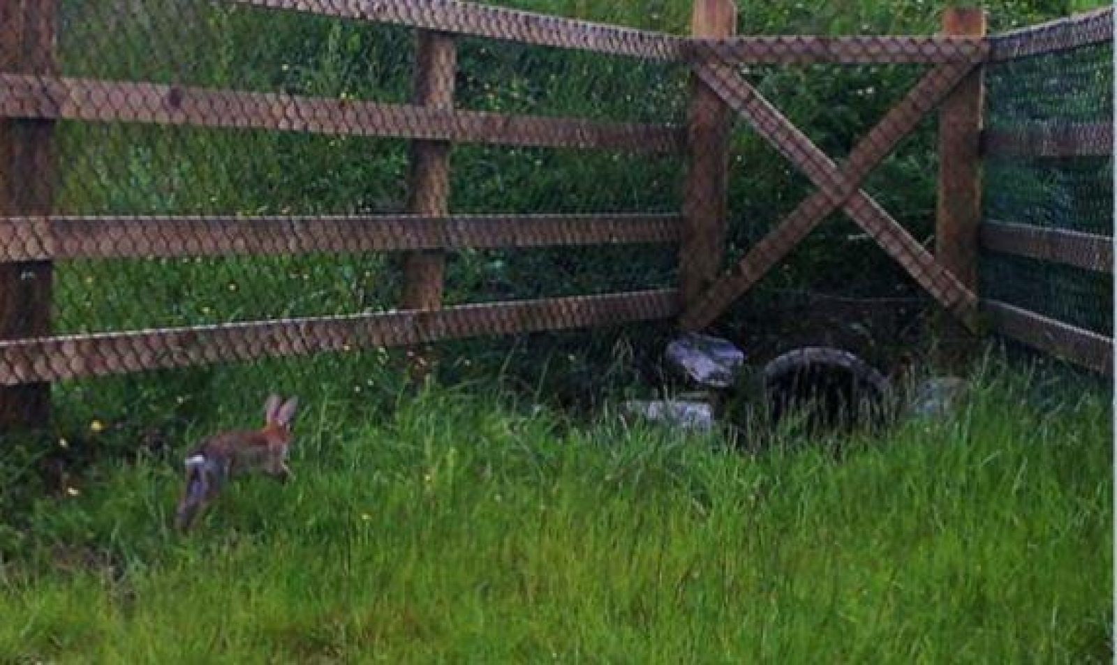
As part of the agreed environmental impact mitigation measures, a number of wildlife-friendly features have been incorporated into the design of the M17/M18 motorway project.
The design ensured, even in the most difficult ground conditions, that the river was maintained undisturbed.
Ireland's first 'green bridge' located near Coole Park Nature Reserve
Karst
Karst is an area of land made up of limestone. Karst landscapes feature caves, underground streams and sinkholes on the surface. Where erosion has worn away the land above ground, steep rocky cliffs are visible.
The M17/M18 was an extremely complex project due to the sheer number of karst features present in east Galway, soft ground, the variety of structures, drainage challenges presented by hydrogeology, the regionally sensitive aquifers and seasonal flooding, environmental commitments and the construction of Ireland’s first Motorway over a live Motorway.
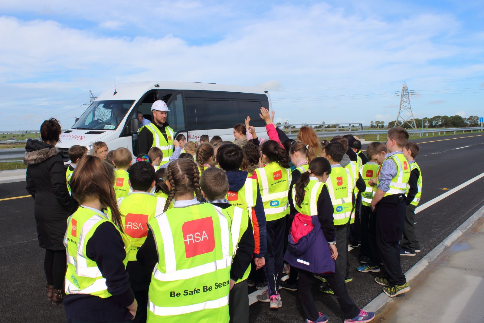
M17/M18 local school visit
Rathmorrissy Junction
Rathmorrissy Junction is a three-level interchange between the M17/M18 and M6 motorways. It comprises of free flow links between the M17/M18 as it passes over the M6 with a circulatory carriageway in between which is approximately 1km in length and is Ireland's largest roundabout.